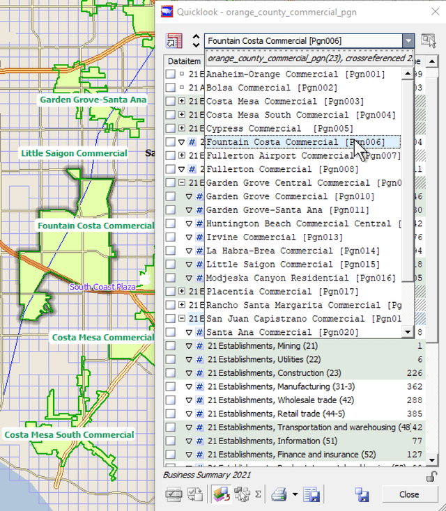

Map your market areas and locations
Import your own or competitor locations
There are several ways to add locations to your maps:
- Enter street addresses, and let Scan/US plot the locations for you.
- Click in the map to plot the location.
- Import a location file with geographic coordinates.
Define trade areas with polygons, drivetimes, or rings.
Scan/US users can create their own geographic objects in a study area. Rings and polygons can be generated in a variety of ways:
- Point and click to place rings, or drivetimes on your map
- Enter street addresses, and let Scan/US plot the locations or rings for you
- Click a series of edge points to define boundaries for a polygon
- In one step, copy a location object (or hundreds of objects) from a different layer onto a new rings or drivetimes layer.
- Import a shape file containing areas defined in shape file format.
When you create a geographic area with rings or polygons, each area contains summarized demographic data you can use in reports, or export to worksheets for further analysis.
This means that from a set of hundreds or even thousands of point locations, you can generate rings, and export the demographic data for ALL of those rings, in less time than it takes to read this page.

Import shape files and compare market area data.

© 1992-2021 - Scan/US, Inc.