
Scan/US Subscription capabilities
Capabilities of all Scan/US Subscriptions include:
- Use your own icons and logos as symbols to represent locations.
- Load detailed streets into maps as large as 100 miles.
- DriveTime analysis built in as a standard feature of all Subscription levels.
- Create data-driven maps of the kind shown in the Scan/US Map Gallery with the hundreds of built-in demographic variables.
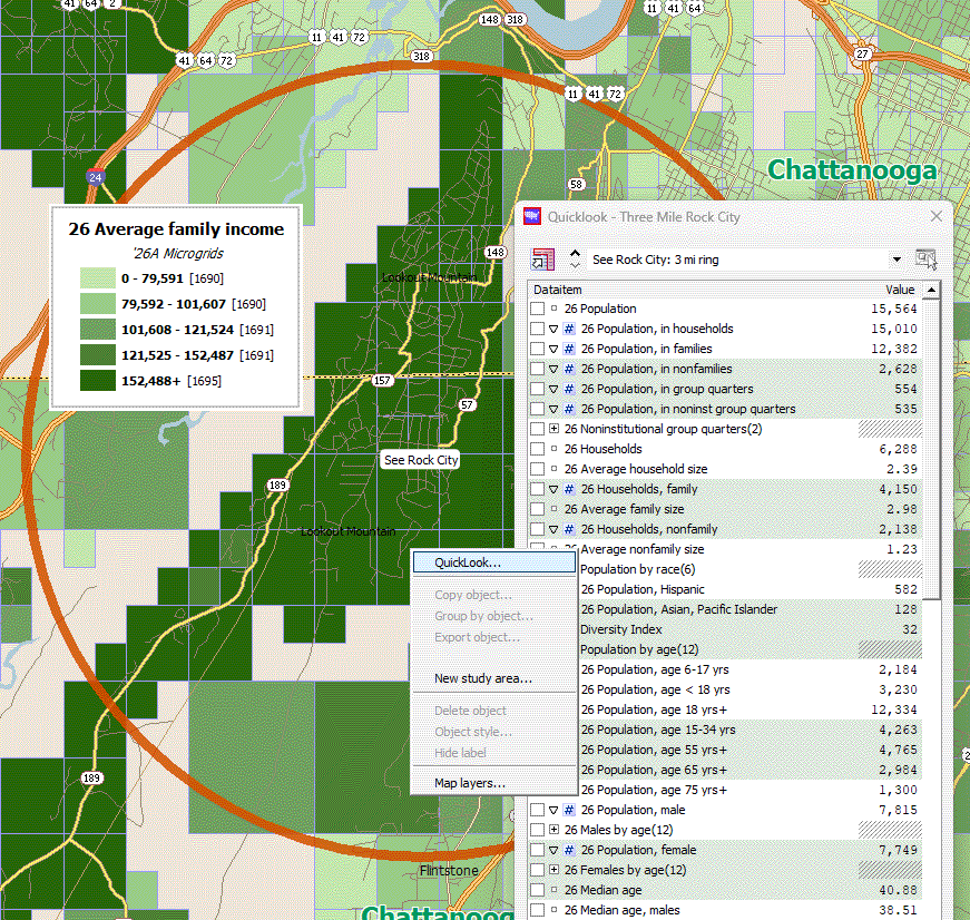
- Report generation offers many options from formatted QuickLook output to powerful multi-object comparative reports.
- Site Express can be used for both ring areas and DriveTimes.
- Site Express can be used to generate site reports for thousands of locations in one pass.
- Export your data analysis into Excel and other formats with "Export data" feature.
- Overlay Scan/US map objects onto satellite imagery by using the "locate in Google Earth" feature. Export your rings, drivetime contours, or territory groups and see them overlayed on top of free satellite imagery in Google Earth (see figure below).
- Export large format map images up to 46"x34" at 300dpi.
- Use the newest Excel file formats for creating files for import into Scan/US: 2010-2013-2019 .xlsx format. Scan/US will also import the 97-2003 .xls workbook format.
- Import location files created with the Scan/US Desktop Geocoder.
- Territory creation and management with groups created by radius, drawing-around, and Classify by Value.
- Rings, Polygons, and drivetimes summarize data as soon as you create them.
- Import trade areas defined in shape files.
- Three levels of subscription package to meet your demographics needs: Scan/US Standard Subscription, Scan/US Premium Edition: Daytime Subscription and the Scan/US Premium Edition: Lifestyle Subscription
- Enterprise licensing available lets you add even more data and geographies.
- Built in Quicklook Demographic data viewer
Great looking maps.
Great looking reports
Data and Map Export
Data Import
Trade area and Territories
Integrated demographic data
© 1992-2026 - Scan/US, Inc.